Eyes in Orbit: How Satellite Remote Sensing Is Transforming the Search for Hidden Native American Sites
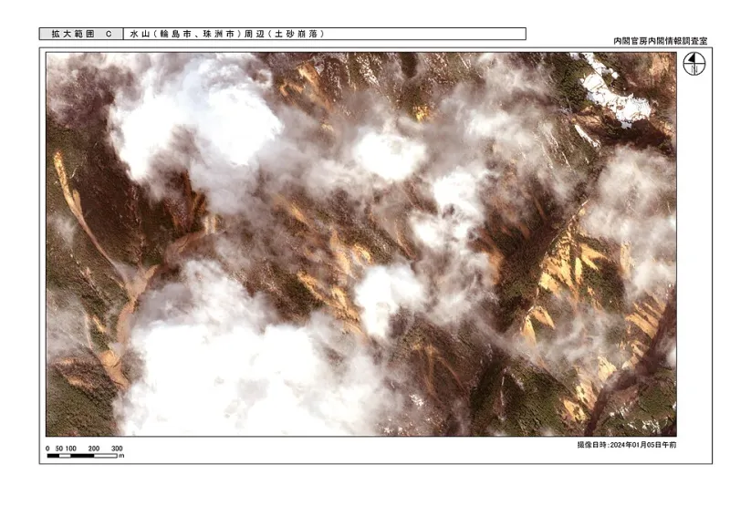
Photo: Cabinet Secretariat, Government of Japan (内閣官房), CC BY 4.0, via Wikimedia Commons
From an altitude of roughly 438 miles, the International Space Station completes an orbit of the Earth in approximately ninety minutes. In that same window, a trained analyst working with multispectral satellite data can flag dozens of potential archaeological features across a landscape that might take a field team months to survey on foot. That compression of time and scale—made possible by a convergence of commercial satellite infrastructure, machine learning, and decades of methodological refinement—is quietly altering the foundational logic of archaeological prospection across North America.
The shift is particularly consequential for the study of Native American sites. The continental United States contains an estimated 1.5 million known archaeological sites, but researchers generally accept that this figure represents only a fraction of what remains unidentified. Budget constraints, access limitations, and the sheer geographic scale of the landscape have historically made systematic survey across large areas impractical. Satellite-based remote sensing does not eliminate those challenges, but it changes the calculus significantly.
What the Satellites Actually See
The term "satellite imagery" encompasses a broad and technically varied set of tools. For archaeological applications, the most productive approaches typically move beyond conventional visible-spectrum photography into portions of the electromagnetic spectrum that are invisible to the naked eye.
Multispectral imaging captures data across multiple wavelength bands simultaneously, including near-infrared and shortwave infrared. Vegetation growing above buried archaeological features—ditches, middens, structural foundations, or compacted surfaces—often responds differently to light and moisture stress than surrounding vegetation. These differences, sometimes imperceptible at ground level, can appear as subtle but consistent chromatic variations in multispectral data. In agricultural landscapes across the Great Plains and the Eastern Woodlands, researchers have used this technique to identify the outlines of former settlements, field systems, and ceremonial enclosures that left no visible surface trace.
Thermal infrared sensing operates on a different principle. Buried features with different thermal mass or moisture retention than surrounding sediment will absorb and release heat at different rates across the diurnal cycle. Captured at the right time of day or night, thermal imagery can reveal these differences as distinct signatures. Researchers working in the arid Southwest have found thermal sensing particularly effective for identifying subsurface architectural remains in contexts where other methods produce ambiguous results.
Synthetic aperture radar, or SAR, offers yet another avenue. By bouncing microwave pulses off the Earth's surface and measuring the return signal, SAR systems can detect subtle topographic variations and surface texture differences that correlate with buried or partially buried features. Unlike optical systems, SAR operates effectively through cloud cover and does not depend on solar illumination, making it useful in the heavily forested and frequently overcast landscapes of the Pacific Northwest and the upper Midwest.
Recent Applications Across North America
The practical results of these approaches have been substantial. In the Mississippi River valley, satellite-based survey has contributed to the identification of previously unrecorded mound complexes associated with Mississippian-period cultures, supplementing and in some cases preceding ground-truthing surveys. In the Great Basin, researchers have used multispectral data to map the distribution of lithic scatters and camp sites across vast stretches of terrain that conventional survey had barely touched.
Perhaps the most technically sophisticated applications have combined satellite data with airborne LiDAR and ground-penetrating radar in layered analytical workflows. Each technology contributes different information at different scales, and the integration of multiple data streams has proven more powerful than any single method applied in isolation. Sites identified through orbital imagery can be prioritized for higher-resolution airborne survey, which in turn can guide targeted ground investigation—a tiered approach that concentrates limited field resources where they are most likely to be productive.
Commercial satellite providers including Maxar Technologies and Planet Labs have made very high-resolution imagery increasingly accessible to researchers, with some platforms now offering sub-meter pixel resolution. The democratization of this data has lowered barriers for smaller institutions and independent research teams, though the analytical expertise required to interpret the data meaningfully remains a significant constraint.
The Ethical Terrain
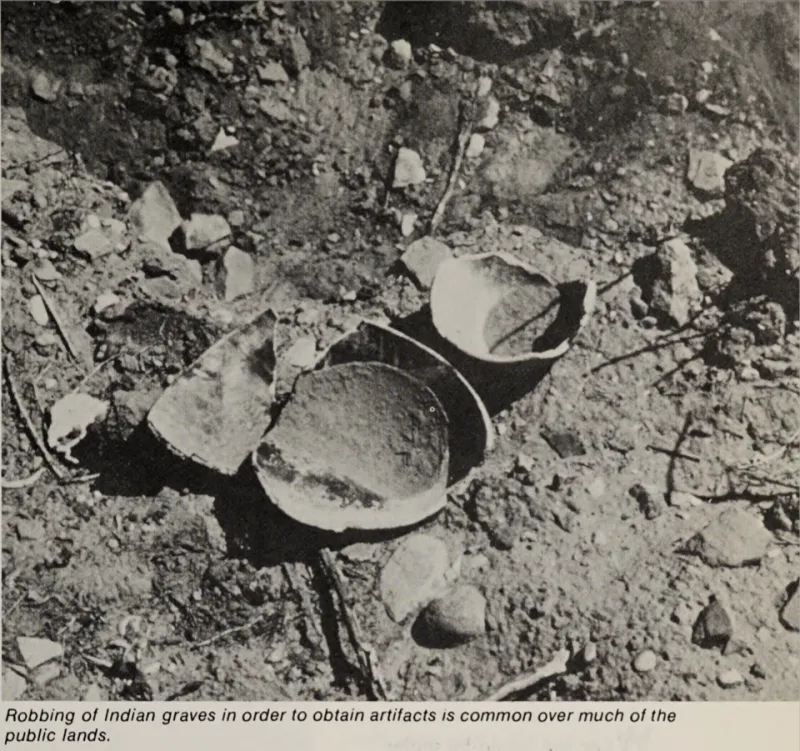
The expansion of remote sensing capabilities raises questions that the archaeological community has not yet fully resolved. The same technologies that enable researchers to locate previously unknown sites can also, in principle, provide that information to looters. The coordinates of an unexcavated site identified through satellite analysis represent both a research opportunity and a potential target. How that information is managed, shared, and protected is a matter of genuine concern, particularly for sites located on private land or in jurisdictions with limited enforcement capacity.
The relationship between this technology and Indigenous communities introduces additional layers of complexity. Many Native American nations hold strong views about the appropriate treatment of ancestral sites, including whether and how they should be investigated at all. Remote sensing, because it can characterize a site without physical intrusion, is sometimes framed as a less invasive alternative to excavation. But identification is itself a form of intervention with consequences. A site that was effectively invisible to outside researchers before satellite analysis may become the subject of academic attention, federal review processes, or development pressure once its existence is documented in a published dataset.
Leading practitioners in the field increasingly emphasize the importance of early and substantive consultation with tribal nations and Indigenous communities before satellite survey data is collected, analyzed, or disseminated. Several collaborative projects have established formal protocols under which tribes hold co-ownership of the resulting data and exercise meaningful authority over how it is used. These models are not yet universal, but they represent a meaningful evolution in how the discipline approaches the intersection of technological capability and community sovereignty.
Acceleration and Its Implications
The pace of site identification enabled by satellite remote sensing is genuinely unprecedented. What once required years of systematic pedestrian survey can now be accomplished, at least in preliminary form, in a fraction of the time. That acceleration has significant implications for cultural resource management, federal infrastructure review processes, and the allocation of preservation resources.
It also raises a more fundamental question about the relationship between discovery and understanding. Identifying the location of a site through spectral analysis is not the same as comprehending its significance, its internal organization, or its place within a broader cultural landscape. Remote sensing reveals form; meaning requires interpretation, context, and, often, the knowledge held by the communities whose ancestors created the sites in question.
The technology is a powerful instrument. How the discipline chooses to use it—and with whom—will determine whether it advances a genuinely more complete and ethically grounded understanding of North America's deep past, or simply accelerates the extraction of data from a landscape whose human dimensions remain imperfectly understood.