Paths Before Pavement: Tracing the Indigenous Engineering Beneath America's Highways

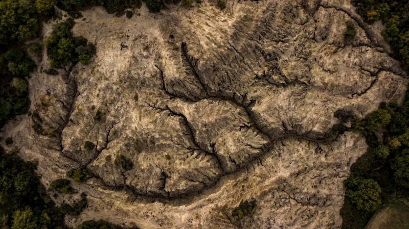
Photo by Photo by Dmytro Koplyk on Unsplash on Unsplash
Drive Interstate 40 through Tennessee or follow U.S. Route 11 across the Shenandoah Valley, and you are, in a very real sense, traveling a road built thousands of years before the automobile. Beneath the asphalt lies the Great Indian Warpath, the spine of a vast Indigenous trail network that linked the Great Lakes to the Gulf of Mexico. For archaeologists, these corridors represent something more than convenient geography: they are engineered landscapes, maintained and modified over millennia, and increasingly recognized as artifacts in their own right.
A Network Older Than the Nation
The Warpath and its tributaries—the Warriors' Path, the Athawominee, the Catawba and Unicoi trails—formed a circulatory system for pre-colonial North America. Envoys, traders, hunters, and warriors moved along these routes carrying copper, marine shell, mica, and ideas between distant regions. The trails followed logical gradients, forded rivers at reliable shallows, and threaded mountain gaps that later surveyors would adopt almost wholesale for railroads and highways.
What distinguishes these routes from mere game trails is intention. Travelers widened passages through cane brakes, cleared obstructions, and in some regions marked paths with stone cairns or bent saplings. Water sources and campsites along major corridors show repeated use over centuries, sometimes with associated deposits that suggest formalized hospitality or ritual obligations to travelers.
How Archaeologists Reconstruct a Road
Because a footpath leaves a faint signature, reconstructing these networks requires triangulating multiple lines of evidence.
Colonial-era maps and surveys. European surveyors, military engineers, and land speculators recorded Indigenous routes extensively in the seventeenth and eighteenth centuries, often because they intended to use them. Cross-referencing these documents with modern terrain models allows researchers to trace corridors with surprising precision.
Pedestrian survey and site patterning. Artifact scatters, rock shelters, springs, and fords aligning in linear patterns indicate sustained corridor use. Where a trail crossed a river, archaeologists frequently find dense deposits of lithics, ceramics, and trade materials—accidental losses and deliberate offerings accumulated over generations.
LiDAR and remote sensing. In forested terrain, airborne laser scanning can reveal subtle linear depressions, terraced approaches, and parallel braided paths where heavy use eroded the ground. These datasets are quietly transforming how researchers identify routes that never appear on any map.
The Interstate Paradox
The most striking feature of the Warpath is its afterlife. The Wilderness Road through Cumberland Gap, the National Road, and ultimately the interstate system all absorbed segments of the Indigenous network because the underlying logic—efficient grades, reliable water, defensible passes—remained unchanged. When engineers charted Interstate 81 through Virginia's Shenandoah Valley, they were, knowingly or not, formalizing decisions made by Haudenosaunee and Cherokee travelers centuries earlier.
This continuity cuts both ways. The same engineering logic that preserved the routes in the modern landscape also means that highway expansion, commercial development, and utility corridors repeatedly destroy the very segments that survive. A trail bed is rarely legally recognized as a site; it is treated as right-of-way.
Roads as Artifacts
A growing number of archaeologists argue that this legal blind spot reflects an outdated definition of material culture. We protect mound centers, village sites, and cemeteries, but a road—the connective tissue between them—seldom qualifies for consideration under cultural resource management frameworks. Yet a trail encodes as much information as any single site: patterns of mobility, alliance, trade, and territoriality that dispersed sites cannot reveal on their own.
Some states have begun to respond. Segments of the Great Indian Warpath in Tennessee and Virginia have been documented in heritage inventories, and interpretation along modern corridors acknowledges the Indigenous routes beneath them. Preservation advocates argue for corridor-level protection, treating intact trail segments as linear resources comparable to historic canals or rail lines.
Reading the Landscape Forward
For students of North American prehistory, the Warpath offers a corrective to a persistent bias: the tendency to study places rather than the movement between them. Villages and mounds are discrete and excavatable; a road is a relationship, spread across hundreds of miles. Recovering it demands a synthesis of documentary history, geomorphology, and Indigenous geographic knowledge—much of which survives in oral tradition and place names that colonial cartography only partially recorded.
The next time traffic slows on a valley highway, it is worth remembering that the route itself may be the oldest human artifact in view. The first American road was not surveyed, paved, or named by any government. It was walked into existence, maintained by countless hands, and it still carries the continent on its back.