Where the Water Lets Go: Crisis Archaeology on America's Great Rivers
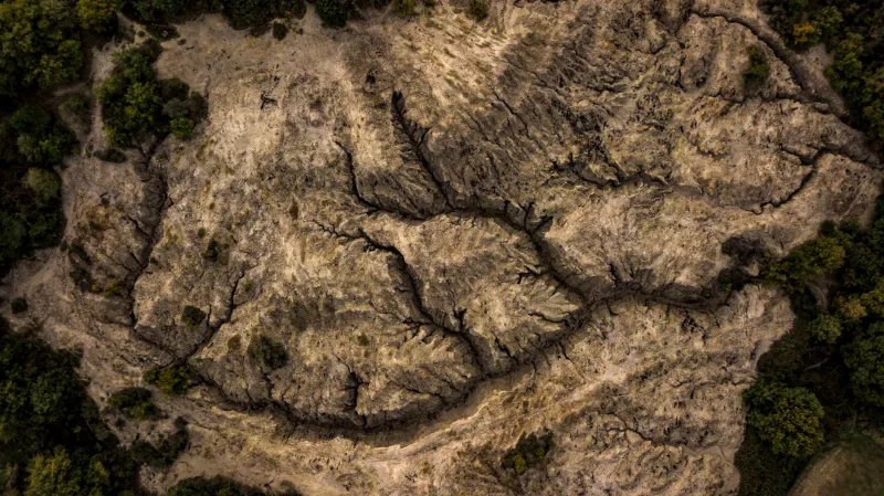
In the summer of 2022, receding water along the Mississippi River exposed a stretch of bank in the Midwest that had not seen daylight in generations. Local residents reported strange wooden formations rising from the mud; within weeks, archaeologists had documented the remains of a fish weir—part of an Indigenous fishing technology that predated European contact by centuries. It was a remarkable find. It was also a warning. The same low water that revealed the structure signaled a river system under stress, and the artifacts it uncovered were, at that moment, actively deteriorating.
This is the paradox now defining riverine archaeology in the United States: the forces that expose sites are the same forces destroying them.
Rivers as Both Archive and Eraser
Rivers have always been the organizing principle of Indigenous settlement in North America. The Mississippi and its tributaries sustained the great Mississippian centers; the Columbia and its salmon runs anchored thousands of years of Plateau occupation; the Colorado corridor connected Puebloan communities across the arid Southwest. Where water went, people followed—and where water shifted, sites were buried, drowned, or preserved in anaerobic mud.
That makes river corridors simultaneously the richest and most fragile parts of the American archaeological record. Sediment can seal a site in remarkable condition. But a single season of high flow, or a change in dam release schedules hundreds of miles upstream, can scour a bank down to sterile gravel and take the stratigraphy—the site's internal chronology—along with it.
Archaeologists sometimes describe rivers as archives. The metaphor holds only if the archive is kept on a shelf that rearranges itself every spring.
Drought as a Research Condition
The megadrought gripping the American West has turned reservoir management into an accidental research program. Lake Mead's dramatic decline revealed everything from World War II-era boats to the remains of earlier Euro-American settlement, and it has prompted renewed attention to what deeper pre-Contact deposits might sit beneath the still-exposed terraces of the Colorado. On the Columbia, fluctuating drawdowns behind the federal dam system periodically expose terrace edges where Chinookan and Sahaptin-speaking communities maintained villages, drying racks, and cemeteries for millennia.
These windows are unpredictable and short. Cultural resource management (CRM) teams working under Section 106 and state burial statutes often have days, not months, to stabilize exposed human remains, coordinate with Tribal authorities, and record what erosion has revealed. The work is procedural, urgent, and frequently invisible to the public.
The Tribal Dimension
Crisis archaeology on American rivers cannot be separated from questions of sovereignty and descent. Many of the sites now emerging are ancestral to Tribal nations whose members hold specific obligations toward the dead and the departed. The discovery of remains along a receding reservoir is not simply a data point; it triggers legal processes under NAGPRA and, in many states, immediate consultation requirements.
Practitioners increasingly describe the ideal response as documentation with the purpose of protection or repatriation—not excavation for its own sake. In several recent cases, Tribes have directed that exposed cemeteries be stabilized and reburied rather than studied, a decision that professional archaeology has, often belatedly, learned to treat as authoritative rather than advisory.
What the Record Gains—and What It Cannot Give Back
There is genuine scientific value in these emergency exposures. Organic materials—basketry, cordage, wooden tools—survive in waterlogged contexts far better than in open-air sites, and each drought-season discovery refines understanding of riverine economies, seasonal movement, and trade. Sites along the Mississippi are adding texture to the picture of a vast Indigenous world organized around water long before the fur trade.
But the gains come with an accounting of loss. Sites destroyed by bank collapse are destroyed permanently, along with the contextual relationships between objects that make interpretation possible. Climate projections suggest that the cycle of flood and drought intensifying across the Missouri, the Rio Grande, and the Sacramento will keep opening—and closing—these windows more frequently and less predictably.
The rivers, in other words, will keep making their offers. The question for American archaeology is whether the discipline, its funders, and its Tribal partners can build the standing capacity to answer in time.