Seeing Through the Trees: How LiDAR Is Rewriting the Archaeological Map of Pre-Columbian North America
Photo: USDA NRCS South Dakota, Public domain, via Wikimedia Commons
For most of the discipline's history, North American archaeology has operated under a significant handicap: the forest. Dense tree canopies across the Southeast, the Great Lakes region, and the Pacific Northwest have shielded vast stretches of ground from aerial photography and conventional remote sensing. Generations of researchers were forced to rely on surface surveys, test excavations, and the occasional fortunate exposure of buried features. The result was an incomplete and, in many respects, misleading picture of Indigenous civilization on the continent.
That picture is now being revised at a remarkable pace. Light Detection and Ranging — LiDAR — has emerged as one of the most consequential methodological advances in modern archaeology. By firing millions of laser pulses per second from low-flying aircraft and measuring the precise time each pulse takes to return, LiDAR instruments can effectively strip away vegetation in the digital realm, rendering the bare earth surface with centimeter-level accuracy. What lies beneath the canopy is no longer hidden.
The Technology Explained
LiDAR operates on a straightforward physical principle: light travels at a known speed, so the distance to any reflecting surface can be calculated from the elapsed time between emission and return. When deployed from aircraft, the system records both the first return — typically from the top of the forest canopy — and subsequent returns that penetrate gaps in the foliage and reach the ground. Sophisticated filtering algorithms then separate ground-level returns from vegetation returns, producing a bare-earth digital elevation model of extraordinary resolution.
The resulting imagery, often rendered as hillshade maps that exaggerate subtle topographic relief, can expose earthworks, mounds, causeways, agricultural terraces, and building platforms that are entirely invisible from the ground or from conventional aerial photography. For archaeologists working in forested environments, it is, in the words of many practitioners, a transformative experience to view a landscape for the first time as it was actually shaped by human hands.
Louisiana's Monumental Revelation
One of the most striking early demonstrations of LiDAR's power in North America came not from a remote jungle but from the heavily wooded bottomlands of northern Louisiana. The Poverty Point site, a UNESCO World Heritage Site dating to approximately 1700–1100 BCE, had long been recognized as an exceptional earthwork complex. What LiDAR surveys conducted over the surrounding region revealed, however, was that Poverty Point was not an isolated anomaly.
Researchers at Louisiana State University and collaborating institutions used airborne LiDAR data to identify previously unrecorded mound complexes and earthen ridges extending across the lower Mississippi Valley. Some of these features, buried beneath agricultural fields and second-growth forest, bore strong architectural similarities to Poverty Point itself, suggesting a far more extensive cultural network than the site-by-site survey record had indicated. The implication — that a sophisticated, regionally integrated society had organized labor and ceremonial activity across a broad landscape more than three millennia ago — fundamentally changes the interpretive baseline for the region.
The Southeast's Hidden Urban Fabric
The Mississippian period, roughly 800 to 1600 CE, produced some of the most complex Indigenous societies north of Mexico, centered on platform mound complexes and supported by intensive maize agriculture. Cahokia, near present-day St. Louis, remains the most studied example. Yet LiDAR surveys across the broader Southeast have revealed that Cahokia-style civic architecture was far more widespread than previously documented.
In Tennessee, Alabama, and Georgia, LiDAR-derived elevation models have exposed previously unrecorded platform mounds, plaza spaces, and associated residential zones hidden within forested tracts that were considered archaeologically marginal. In several instances, newly identified mound groups have proven, upon ground verification, to be substantial constructions representing enormous organized labor investments. The cumulative effect of these discoveries is a denser, more interconnected settlement landscape than the existing literature described — one that implies regional population densities scholars have historically been reluctant to accept.
Pacific Northwest: Complexity Beneath the Canopy
The Pacific Northwest presents a different architectural vocabulary but an equally compelling case for LiDAR's revelatory power. The region's Indigenous societies, long characterized in older literature as complex hunter-gatherers rather than agricultural civilizations, left extensive physical signatures on the landscape: fish weirs, clam gardens, village platforms, and elaborate trail networks.
LiDAR surveys conducted in collaboration with First Nations groups in British Columbia and with tribal partners in Washington State have identified dense concentrations of culturally modified terrain that surface survey had not captured. Rectangular house platform depressions, some representing structures of considerable size, appear in clusters that suggest permanent, large-scale village occupation extending back centuries. Coastal resource management features — engineered intertidal zones designed to increase shellfish productivity — appear at scales that challenge the traditional framing of Northwest Coast peoples as passive harvesters of natural abundance.
These findings have direct implications for how archaeologists characterize sociopolitical complexity. The physical evidence of landscape management and architectural investment demands a vocabulary of sophistication that older typologies reserved for agricultural states.
Methodological Rigor and Ground-Truthing
It would be a mistake to treat LiDAR as an infallible oracle. The technology produces hypotheses, not conclusions. Every anomaly identified in a bare-earth elevation model requires field verification before it can be assigned cultural significance. Natural geomorphic processes — erosion, alluvial deposition, tree-throw mounds from fallen trees — can produce features that superficially resemble human earthworks. Experienced analysts develop calibrated skepticism, but errors of interpretation remain a genuine methodological risk.
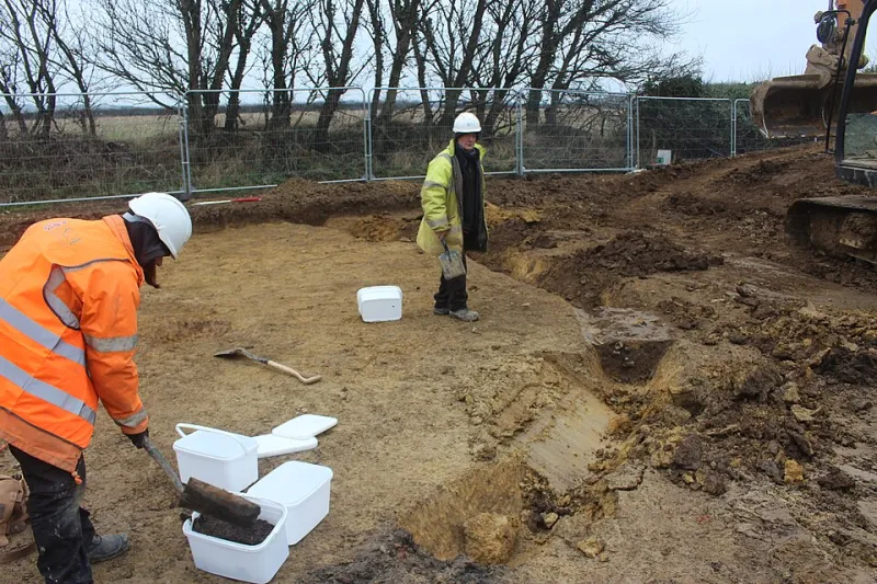
The standard practice in responsible LiDAR-based research involves systematic pedestrian survey and targeted test excavation of identified anomalies. Only when stratigraphic context, artifact assemblages, and radiocarbon dates are integrated with the remote sensing data does a feature move from provisional identification to confirmed archaeological site. This pipeline is labor-intensive and time-consuming, which means that the gap between what LiDAR has identified and what has been properly documented on the ground continues to widen.
Implications for Population and Complexity Estimates
Perhaps the most significant scholarly consequence of LiDAR-driven discovery is the pressure it places on demographic estimates. For decades, historians and archaeologists debated the pre-contact population of North America north of Mexico, with estimates ranging from approximately one million to more than eighteen million. The lower figures, dominant in mid-twentieth-century scholarship, were partly sustained by the apparent sparseness of the archaeological record in forested regions.
As LiDAR continues to fill in that record, the sparse appearance increasingly looks like an artifact of methodology rather than a reflection of historical reality. Settlement systems that were invisible to ground survey are proving, upon aerial examination, to be extensive and densely occupied. The data does not yet support a specific revised population figure, but it consistently points toward greater density and organizational complexity than conservative estimates have accommodated.
A New Era of Discovery
LiDAR has not made archaeology easier — it has made it more demanding. The technology generates research questions faster than the field can answer them, and the institutional and financial infrastructure for systematic ground-truthing of LiDAR-identified sites remains inadequate relative to the scale of discovery. Prioritization frameworks, developed in consultation with descendant communities, are increasingly necessary to direct limited resources toward the most significant sites.
What the technology has unambiguously accomplished is the dismantling of a convenient excuse. The forest is no longer sufficient reason to assume that a landscape is archaeologically empty. Beneath the canopy of eastern hardwood forests, Pacific rainforests, and Gulf Coast bottomlands, the evidence of deep and complex human history awaits documentation. LiDAR has made that evidence visible. The discipline's obligation now is to engage with it honestly.