Written Out of the Landscape: How the Disappearance of Indigenous Place Names Has Blinded Archaeology to Centuries of Settlement Logic
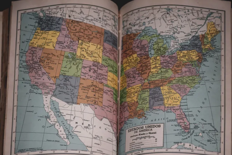
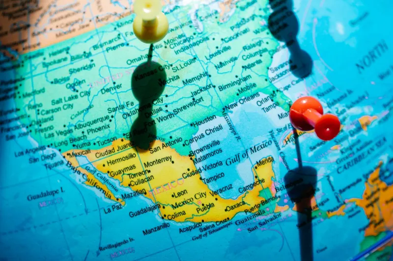
A map, at its most fundamental level, is an argument about what matters. Every label applied to a hill, a river bend, or a confluence of streams reflects a decision — conscious or otherwise — about whose knowledge of that landscape deserves to be recorded. When English, French, and Spanish cartographers began producing systematic maps of North America in the sixteenth and seventeenth centuries, they were not simply documenting geography. They were advancing a competing claim to the land itself, and the erasure of Indigenous place names was among the most consequential tools in that project.
For archaeologists, the downstream effects of that erasure remain poorly understood and significantly underappreciated. Researchers working to reconstruct pre-contact settlement systems frequently find themselves navigating landscapes stripped of the very linguistic markers that Indigenous communities used to encode information about resource distribution, territorial boundaries, seasonal movement, and inter-group relationships. The result, as a growing number of scholars now argue, is an interpretive deficit that no amount of remote sensing or isotopic analysis can fully compensate for.
What a Name Carries
Indigenous place names across North America were rarely arbitrary designations. Linguistic anthropologists and ethnogeographers have documented extensively how toponyms in many Native languages functioned as compressed ecological and social data — names that described the behavior of water at a particular season, the presence of specific plant communities, the historical significance of a location as a meeting point between groups, or the boundary between one polity's territory and another's.
In the Great Lakes region, for instance, Anishinaabe place names often encoded directional relationships between settlements in ways that implied a coherent spatial hierarchy. A name translating roughly as "the place where people from the north come to trade" does not merely identify a location; it asserts that location's functional role within a broader network. When that name is replaced on a map by a European surname or a generic geographical descriptor, the functional information vanishes entirely. What remains is a coordinate without context.
Archaeologists working in the region have noted that site distribution patterns in the western Great Lakes can appear puzzling when analyzed purely through material culture and spatial proximity. Certain clusters of sites seem to lack an obvious organizational logic — until toponymic research drawn from early Jesuit Relations and fur trade documents restores Indigenous place names to the landscape. In several documented cases, recovered names have identified locations as traditional gathering nodes, reframing what had appeared to be isolated habitation sites as components of a deliberately structured seasonal circuit.
The Cartographic Transition and Its Archaeological Consequences
The pace at which Indigenous names disappeared from American maps varied by region and colonial power, but the trajectory was broadly consistent. Early contact-era maps, however imprecise, frequently retained phonetic approximations of Indigenous toponyms — not out of cultural respect, but because European cartographers depended on Indigenous informants and could not yet impose their own naming systems comprehensively. By the mid-eighteenth century, as colonial administrative infrastructure expanded, systematic renaming accelerated dramatically.
In the mid-Atlantic and southeastern United States, this transition was particularly abrupt. Surveys conducted in the decades following the founding of the republic prioritized the imposition of a new national geographic vocabulary, and Indigenous names that had survived into the colonial period were frequently discarded within a single generation of official surveying. The archaeological consequence is that researchers studying Mississippian-era settlement in the Tennessee and Cumberland river valleys, for example, must reconstruct territorial organization almost entirely from material evidence — ceramics, architectural remains, and mortuary data — without the toponymic framework that would have been immediately legible to the communities who built those systems.
This is not a trivial limitation. Settlement hierarchy models in archaeology depend heavily on identifying which sites functioned as regional centers, which served as secondary nodes, and which represented dispersed resource-extraction camps. Material evidence can suggest these distinctions, but it rarely confirms them with the precision that place-name data can provide. A site that yields large quantities of prestige goods may have been a redistributive center, a high-status residential cluster, or an elite mortuary ground — and distinguishing between these interpretations benefits enormously from knowing what the people who used it called it and why.
Regional Case Studies in Toponymic Recovery
The practical value of place-name recovery for archaeological interpretation is perhaps most clearly demonstrated in the Pacific Northwest, where sustained collaborative work between archaeologists and tribal nations has produced measurable advances in the understanding of pre-contact settlement geography.
Among the Chinookan-speaking peoples of the lower Columbia River, traditional place names preserved in oral tradition and early ethnographic records have allowed researchers to identify the spatial logic underlying what had previously appeared to be a somewhat irregular distribution of large plank-house villages. Indigenous toponyms in this region frequently distinguished between sites according to their seasonal function — names associated with specific salmon runs, root-harvesting grounds, or inter-tribal exchange events effectively mapped the annual subsistence calendar onto the landscape. When archaeologists integrated this toponymic layer with existing site distribution data, the apparent irregularities resolved into a coherent system of complementary seasonal nodes organized around predictable resource pulses.
In the Southwest, the recovery of Puebloan place names has similarly reframed interpretations of the Chaco regional system. Traditional Diné and Pueblo oral geographies preserve names for locations within the San Juan Basin that identify certain sites as directional markers, pilgrimage destinations, or boundary indicators — designations that align with, and in some cases clarify, patterns visible in the archaeological record but previously explained only through inference from material distributions.
Toward a Toponymic Archaeology
The methodological case for integrating place-name research into standard archaeological practice is straightforward, but its implementation faces real obstacles. Many Indigenous toponyms survive only in fragmentary form — in early missionary records, fur trade correspondence, or oral traditions that have not yet been fully documented in accessible formats. The linguistic expertise required to interpret these names accurately is not uniformly distributed across the archaeological profession, and the collaborative relationships with Indigenous communities necessary to access and responsibly use this knowledge require sustained investment that project-based research funding does not always support.
Nevertheless, several institutions have begun developing formal protocols for toponymic integration. The Smithsonian's National Museum of the American Indian has supported projects linking place-name databases to archaeological site records for specific regions, and a number of state historic preservation offices in the Great Plains and Pacific Northwest have incorporated tribal place-name consultation into their site assessment procedures.
What these efforts share is a recognition that the landscape of pre-contact North America was not a blank canvas awaiting European description. It was a densely annotated environment in which thousands of years of accumulated human knowledge had been inscribed — not in stone or ceramic, but in language. Recovering that inscription is, in the most literal sense, an act of archaeological excavation: the careful removal of a colonial overburden to expose what lies beneath.
The names were always there. The discipline is only now learning to look for them.