Renaming the Land: How Colonial Cartography Buried Indigenous Geographic Knowledge and What Archaeology Is Recovering
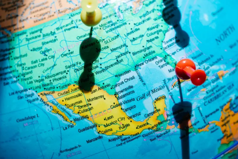
Maps have always been instruments of power. When European cartographers began charting North America in the sixteenth and seventeenth centuries, they did not encounter a nameless wilderness. They encountered a densely labeled world—one in which every creek bend, ridge line, and seasonal marsh had been assigned a designation that carried ecological, ceremonial, or territorial meaning. What happened next was not simply a translation problem. It was a systematic overwriting, and the consequences for archaeological interpretation persist to this day.
The process was rarely violent in any single, dramatic moment. It accumulated through land grants, surveyor's notebooks, colonial legislation, and the quiet authority of printed maps. A river known to the Lenape as Lenape Sipu—literally, "the Lenape's river"—became the Delaware, named for a British colonial governor who never set foot on its banks. The Haudenosaunee name for the body of water the French called Lac Ontario encoded information about water depth and seasonal navigation that the European replacement simply did not. Multiply this dynamic across a continent, and the cumulative effect is what scholars now sometimes call geographical amnesia: a condition in which the official record has been stripped of the cognitive map that Indigenous peoples used to organize, manage, and transmit knowledge about their territories.
What a Name Actually Contains
To understand what was lost, it is necessary to appreciate what Indigenous place names were doing in the first place. Contrary to the assumption, common in early ethnographic literature, that such names were merely descriptive labels, recent interdisciplinary research has demonstrated that they functioned as compressed data archives. A place name might simultaneously identify a landform, record a historical event, mark a resource extraction site, establish a territorial boundary, or encode a ceremonial obligation.
Among many Plains nations, for instance, place names were often structured as narrative fragments—abbreviated references to longer oral accounts that a knowledgeable speaker could expand into detailed environmental histories. The name of a particular butte might signal that bison congregated there in late autumn, that a particular medicinal root grew on its eastern slope, and that the site held significance in a diplomatic agreement between two groups. None of that information survived the renaming.
For archaeologists, this matters enormously. Site distribution models, resource catchment analyses, and territorial reconstructions all depend on understanding how past populations organized themselves across space. When the spatial vocabulary that structured that organization has been erased, researchers are left interpreting patterns without access to the conceptual framework that generated them.
The Cartographic Archive as Archaeological Source
One of the more productive methodological developments in recent years has been the systematic reexamination of early colonial cartographic documents not as reliable geographic records, but as imperfect transcriptions of Indigenous spatial knowledge. Maps produced by French Jesuit missionaries in the Great Lakes region, for example, frequently preserve phonetic approximations of Indigenous place names that were later corrupted or replaced entirely in official cartography. By working backward through successive map editions, researchers can sometimes recover earlier forms that are recognizable to contemporary speakers of related languages.
This approach has yielded significant results in the Pacific Northwest, where collaborative projects between archaeologists and tribal historic preservation offices have used Spanish, Russian, and British maritime charts from the late eighteenth century to reconstruct Coast Salish and Chinookan place name networks along the Columbia River corridor. The recovered names have, in several instances, directed survey teams toward site locations that conventional predictive models had ranked as low probability—locations that proved, upon investigation, to contain substantial material culture assemblages.
The implication is not merely academic. If Indigenous place names encode resource and site information that standard archaeological survey methodology misses, then the recovery of those names is not a cultural gesture but a scientific necessity.
Oral Tradition as Spatial Database
Archaeologists have increasingly recognized that oral traditions preserved within Indigenous communities represent a parallel archive of geographic knowledge that survived the colonial renaming process precisely because it was never committed to paper. Elders in many nations retain detailed knowledge of place name networks that extend far beyond what any colonial-era document records, including names for microfeatures—specific rock outcroppings, stream confluences, and soil patches—that would never have appeared on European maps regardless of intent.
The methodological challenge lies in integrating this knowledge responsibly and rigorously into archaeological practice. Oral geographic knowledge is not simply a supplement to documentary evidence; it operates according to different organizing principles and carries different epistemological commitments. Several recent projects have addressed this by developing collaborative protocols in which tribal members serve as co-investigators rather than informants, with authority over how place name data is used, published, and archived.
A notable example comes from the Southwest, where Pueblo communities have worked with archaeologists to map the spatial distribution of ancestral place names across the Colorado Plateau. The resulting data has substantially revised earlier reconstructions of Ancestral Puebloan territorial range, suggesting a far more extensive and deliberately organized landscape of named, meaningful places than the material record alone had indicated.
Linguistic Analysis and the Recovery of Erased Geographies
Historical linguistics offers yet another avenue for recovering what colonial cartography obscured. Many English and Spanish place names in current use are, in fact, phonological survivals of Indigenous originals—corrupted in transmission but recoverable through comparative linguistic analysis. "Mississippi" derives from the Ojibwe Misi-ziibi, meaning "great river." "Chicago" likely originates from the Miami-Illinois word for wild garlic or wild onion, referencing a plant resource that was evidently abundant and significant at that location. "Chesapeake" preserves an Algonquian term that may encode information about the bay's fishery.
These survivals are not merely etymological curiosities. When linguists reconstruct the probable original form and meaning of a corrupted place name, they sometimes recover ecological or archaeological information with direct research applications. A name that translates as "place where the clay is good" points toward ceramic production sites. One meaning "where the deer cross" identifies a faunal movement corridor relevant to understanding subsistence patterns. One denoting "the burned ridge" may mark a landscape management practice—deliberate burning—that left a detectable signature in the sediment record.
The Stakes of Recovery
The work of recovering Indigenous place name networks is not, at its core, a matter of historical sentiment. It is a matter of scientific completeness. The archaeological record is always fragmentary, and every methodology that can reduce that fragmentation has legitimate claim to inclusion in the discipline's toolkit. Place name recovery—through archival analysis, oral tradition collaboration, and linguistic reconstruction—has demonstrated its capacity to generate testable hypotheses, direct productive survey, and correct interpretive errors that arose from working with an impoverished spatial vocabulary.
There are also broader implications for how the discipline understands Indigenous territorial organization. The emerging picture, assembled from recovered names across multiple regions and language families, is one of landscapes that were not merely inhabited but actively authored—inscribed with meaning, managed according to encoded knowledge systems, and navigated through a spatial logic that was sophisticated, durable, and deliberately transmitted. That this authorship was largely invisible to European observers, and has remained partially invisible to archaeology, reflects the limits of a discipline that for too long treated the pre-contact landscape as a stage rather than a text.
Reading that text requires learning, or relearning, the language in which it was written. The recovery of Indigenous place names is, in this sense, one of the more consequential acts of archaeological translation currently underway.